Ecuador (weeks 34 & 35)
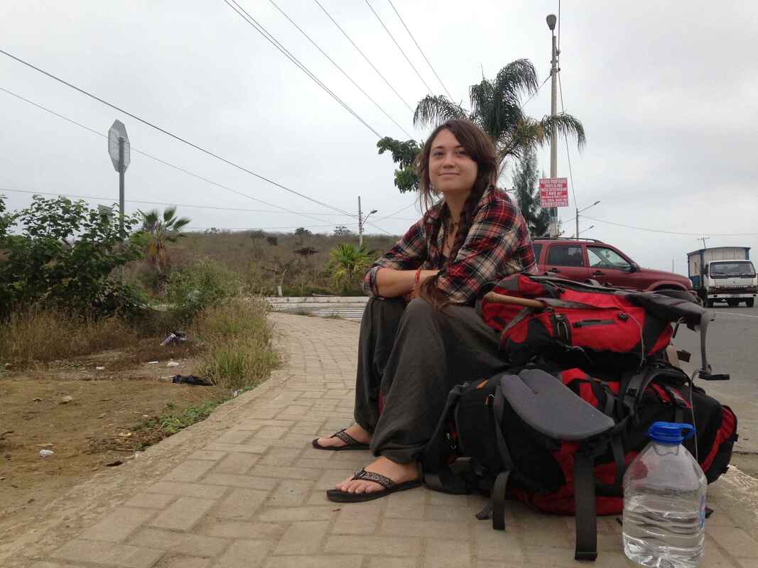
Getting from Khajuraho, India to Ayangue, Ecuador took an overnight train, five flights, and two busses, for a total of 80 hours of travel. It wasn't quite as bad as it sounds, but we did arrive in Ayangue exhausted and a little confused. Travel does weird things to the mind; it was hard to grasp that we were back on the other side of the world!
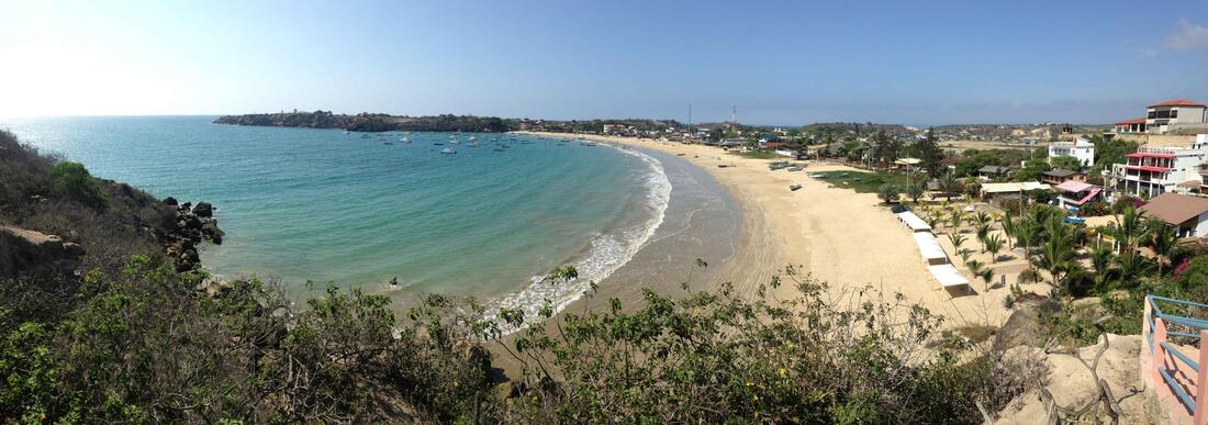
Our plan for Ecuador was to spend some time along the coast before moving inland to the Andes, but overcast and stormy weather pushed us inland after a short stay in sleepy Ayangue.
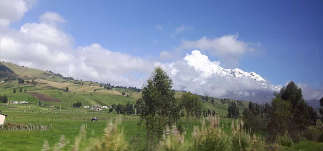
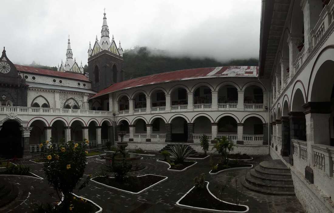
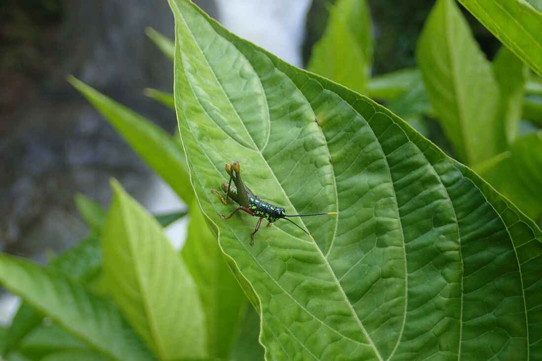
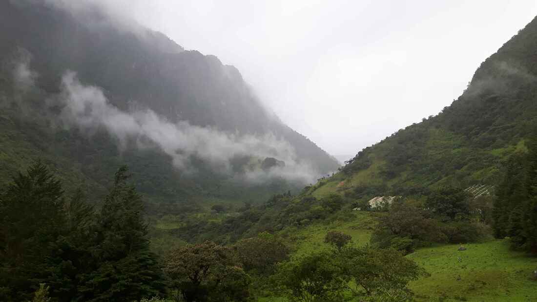
The climb into the Andes was spectacular; the mountains were much greener than I expected. In the foothills the forest thickened to jungle, making room for small, cultivated plots at staggering angles and, eventually, shifted to tall pines and blankets of vibrant green moss hiding crumbling stone walls and tiny stairs carved into the mountainside. We based ourselves in Riobamba, Ecuador's third largest city, to explore some of the surrounding areas.
The climb into the Andes was spectacular; the mountains were much greener than I expected. In the foothills the forest thickened to jungle, making room for small, cultivated plots at staggering angles and, eventually, shifted to tall pines and blankets of vibrant green moss hiding crumbling stone walls and tiny stairs carved into the mountainside. We based ourselves in Riobamba, Ecuador's third largest city, to explore some of the surrounding areas.
This was my first visit to the Andes, and my first time at 2700 meters (8860 feet) above sea level. Not surprisingly, especially since we went from sea level to Riobamba in four hours, the altitude hit me hard. I got progressively worse as the evening went on and was pretty sure my head was going to explode. Standing became too complicated, and it was hard to remember to breathe. Luis only suffered one symptom of altitude: irritability.
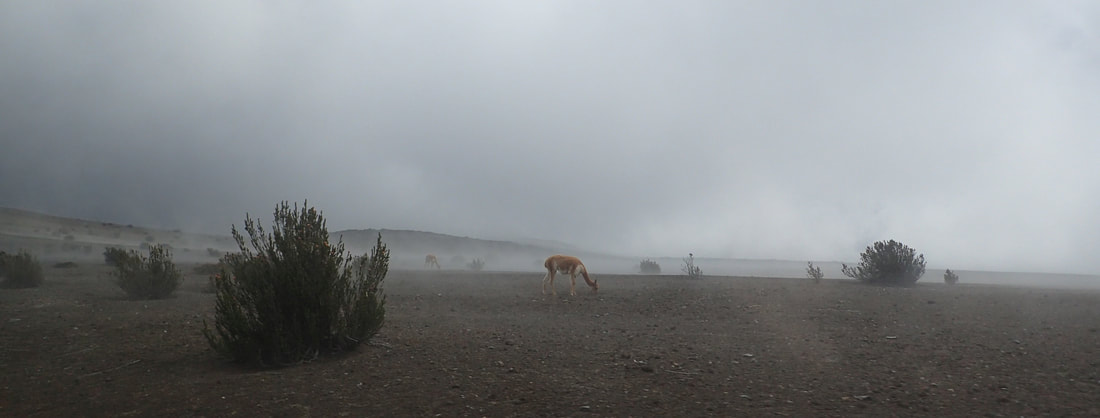
The next day was the only bright and beautiful day forecasted (and I could actually move around) so we took a chance and tried going up Chimborazo, the nearby volcano. Its summit is just over 2 kilometers farther from the Earth's center than Everest due to the Equatorial bulge. A bus brought us up to 4300m, the entrance to the national park. I concentrated on slowly placing one foot in front of the other and breathing steadily. after getting our passports stamped "in", we got a ride up to the first refuge at 4800m (or 15750 feet). Many wild vicuñas dotted the desolate landscape as we drove up to the refuge through the clouds caught on the peak.
The next day was the only bright and beautiful day forecasted (and I could actually move around) so we took a chance and tried going up Chimborazo, the nearby volcano. Its summit is just over 2 kilometers farther from the Earth's center than Everest due to the Equatorial bulge. A bus brought us up to 4300m, the entrance to the national park. I concentrated on slowly placing one foot in front of the other and breathing steadily. after getting our passports stamped "in", we got a ride up to the first refuge at 4800m (or 15750 feet). Many wild vicuñas dotted the desolate landscape as we drove up to the refuge through the clouds caught on the peak.
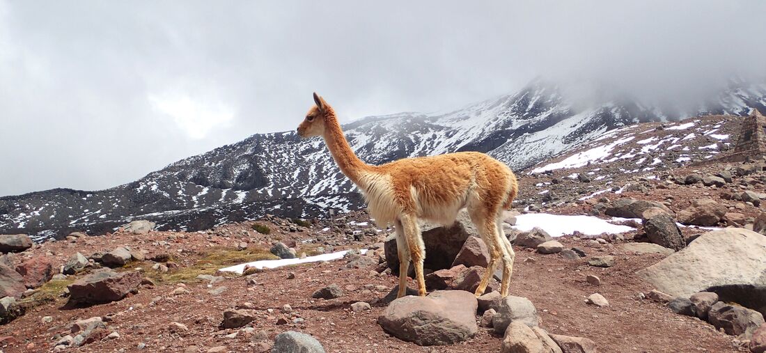
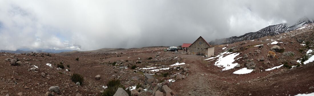
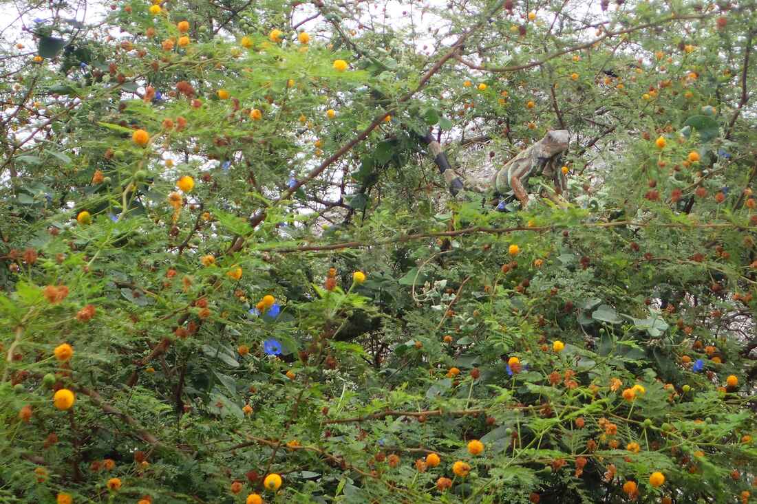
At the refuge, I concentrated on slowly placing one foot in front of the other and breathing steadily. There was a vicuña close by; Luis went to grab some great shots of it while I attempted to climb one step (and failed). The landscape was almost surreal, oscillating between bright blue glimpses of sky and clouds so thick it looked like it would storm at any moment. I started shaking, so Luis got me a cup of coca leaf tea and a ride back down with a group who'd just returned from a hike with a Quechua guide. On the drive back, the guide sang us a lovely song about life on Chimborazo and the importance of preserving its fragile ecosystem.
Ecuador is the first developing country we'd been to who so vehemently advertised for the preservation of its natural environments. Green direction signs hung above the highway would indicate the name and distance of the next town as well as remind drivers to protect trees and plants since they produce the air we breathe.
Going up Chimborazo was risky given that I still had some altitude sickness but going back down from 4800m to 2700m effectively cured it! We could now also boast that we've been closer to the sun (or farther from the Earth's core) than if we'd climbed Everest.
Another four-hour bus ride watching terrible and terribly loud action movies brought us to Baños de Agua Santa, or Baños.
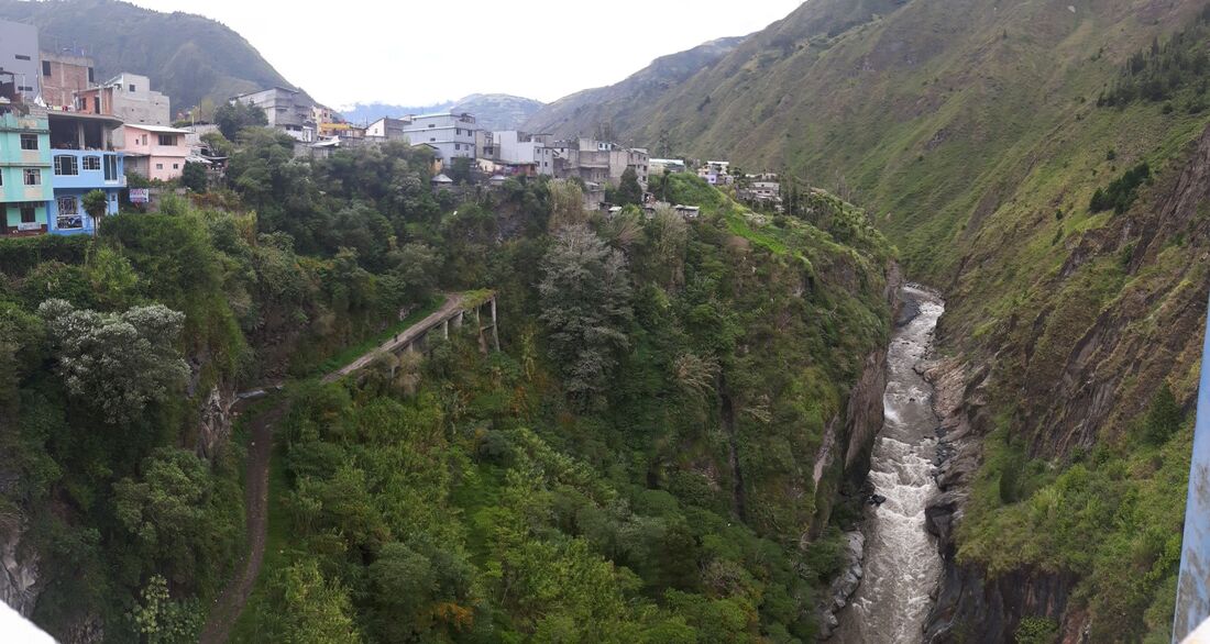
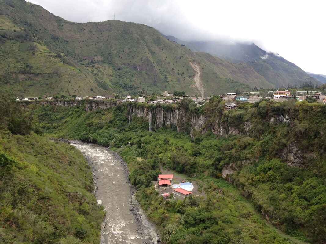
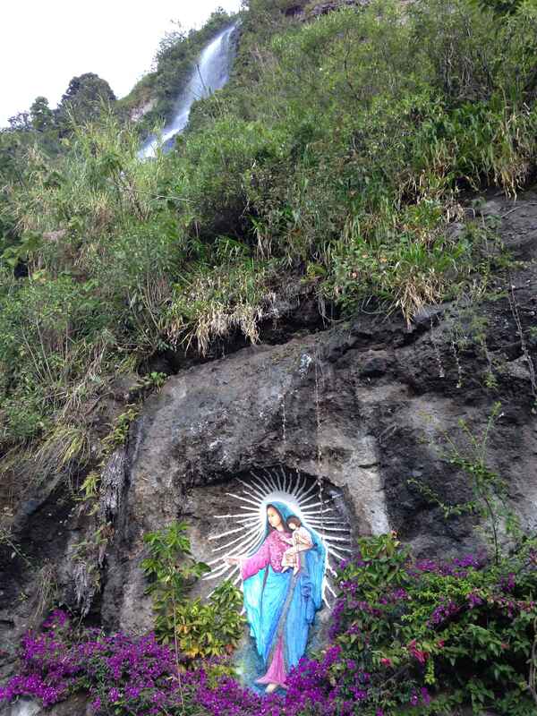

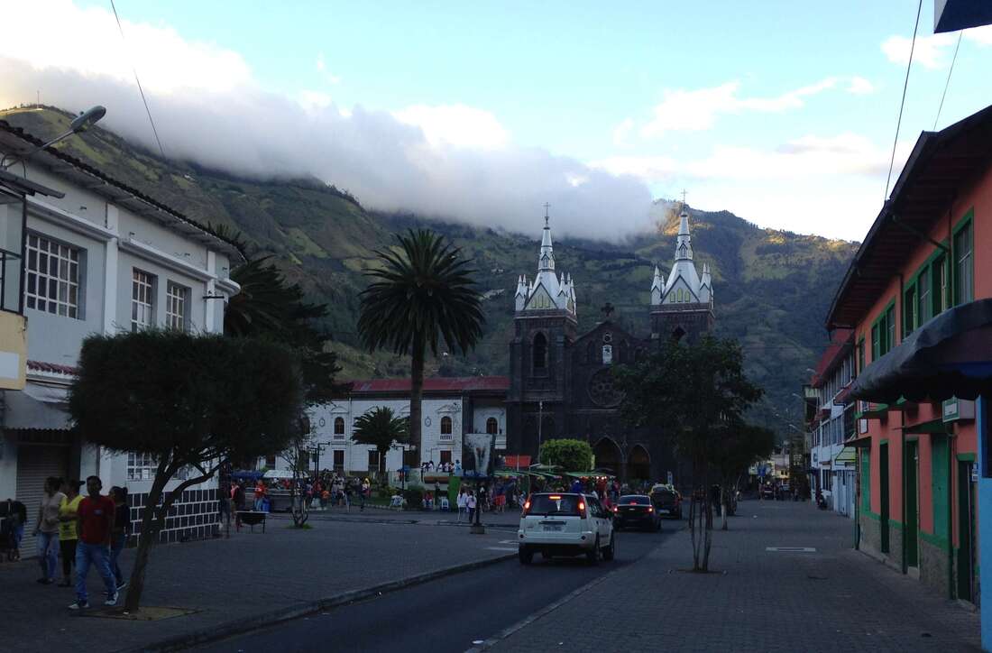
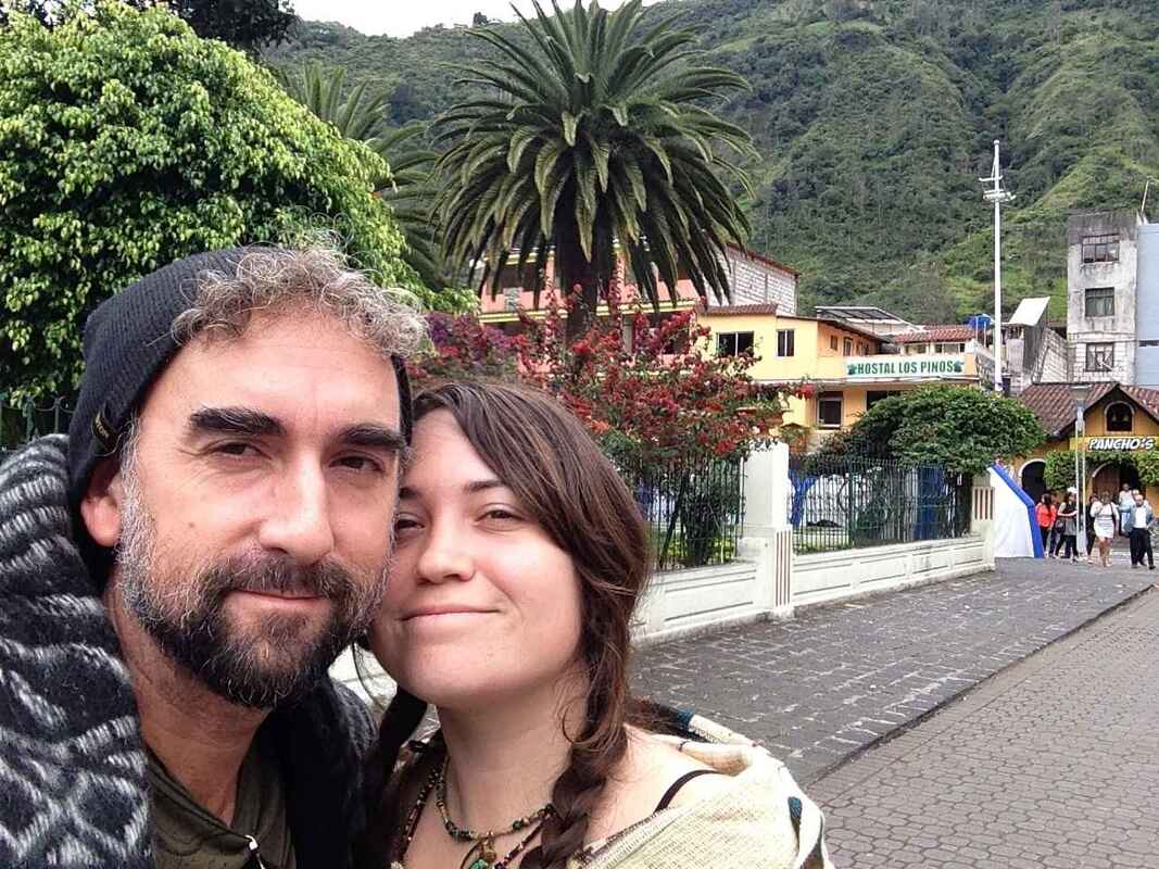
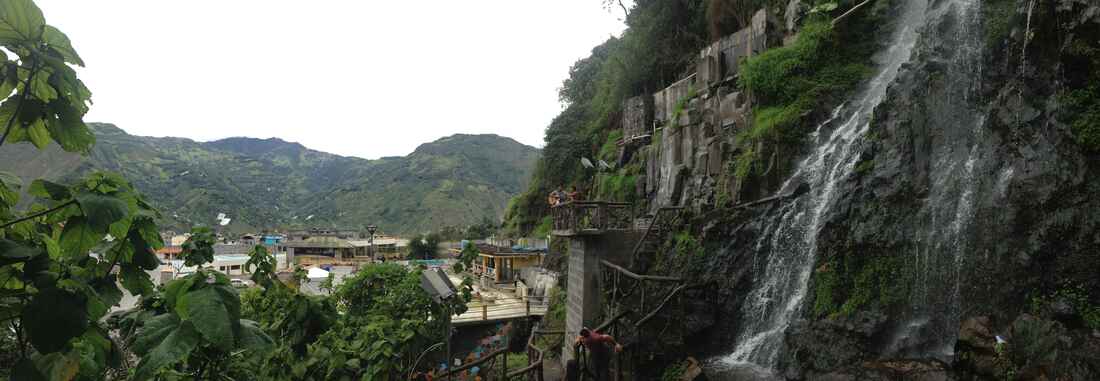
As its name indicates, Baños ("baths") is known for its hot springs. It is nestled on the steep slopes of the striking Tungurahua volcano, just above one of the many canyons that are found at its feet. It's also a base for adventure activities and excursions into the Amazon.
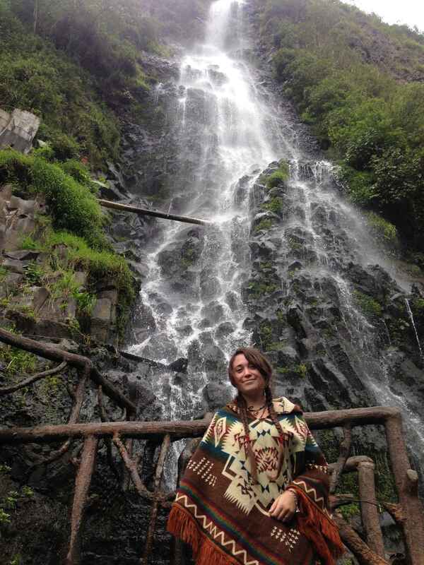
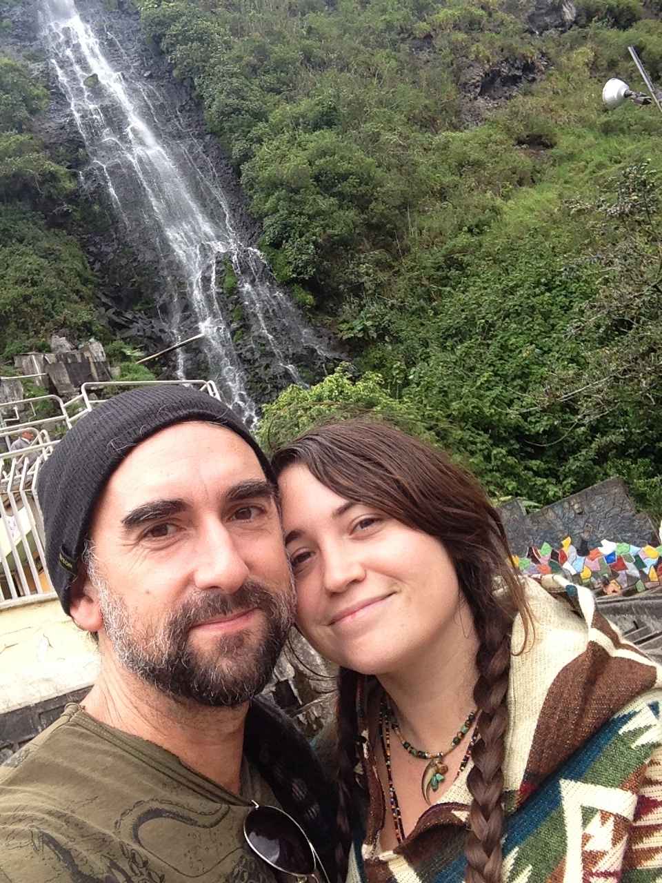
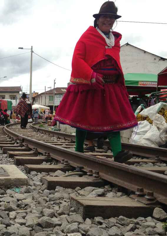
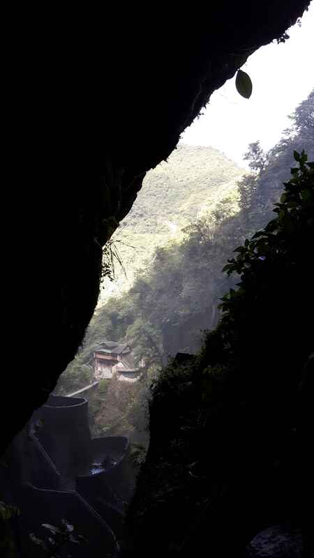
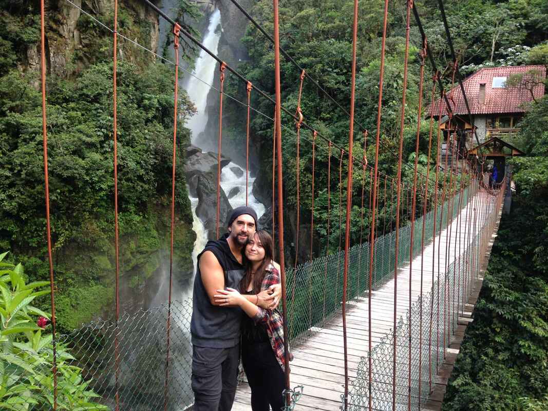
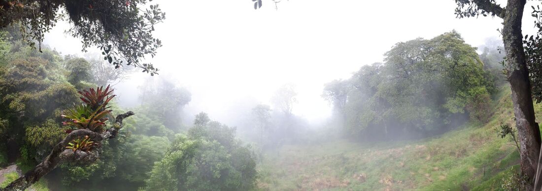
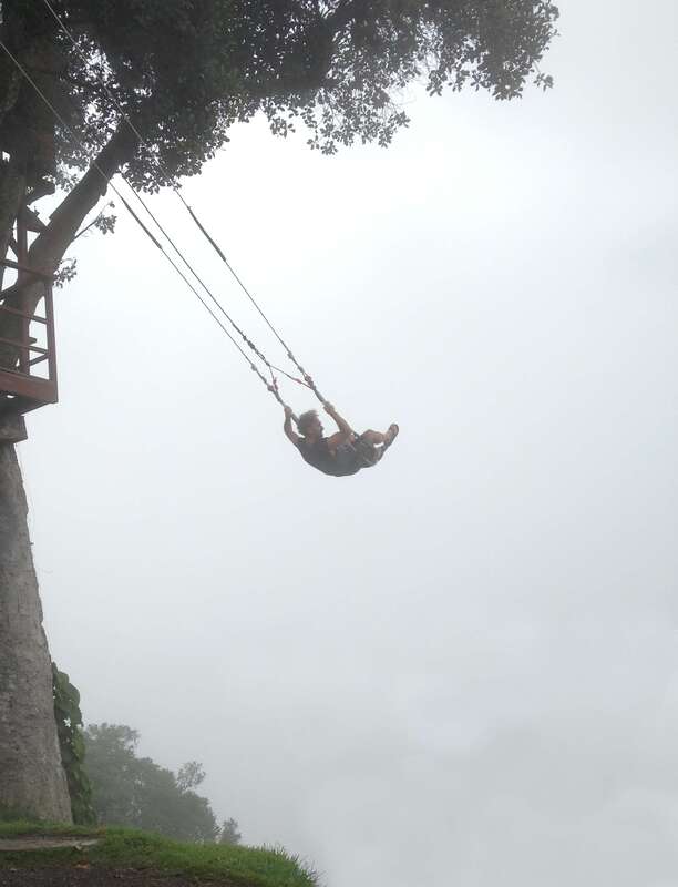
We ventured down the winding mountain roads on public buses to go see the striking Pailon del Diablo waterfall; this side of the Andes descends into the Amazon basin. Sure enough, about a half hour out of Baños, the climate shifts from cloudforest to thick jungle to rainforest. Our stop in Rio Negro, just before the start of the Amazon Basin, was rainy; it rains pretty much everyday there, we were told. We took another public bus up to the famous "swing at the edge of the world" at Casa del Arbol. Baños was a very lovely town, and the people - not just in Baños but all over Ecuador - were some of the warmest and friendliest people we've ever met.
We ventured down the winding mountain roads on public buses to go see the striking Pailon del Diablo waterfall; this side of the Andes descends into the Amazon basin. Sure enough, about a half hour out of Baños, the climate shifts from cloudforest to thick jungle to rainforest. Our stop in Rio Negro, just before the start of the Amazon Basin, was rainy; it rains pretty much everyday there, we were told. We took another public bus up to the famous "swing at the edge of the world" at Casa del Arbol. Baños was a very lovely town, and the people - not just in Baños but all over Ecuador - were some of the warmest and friendliest people we've ever met.